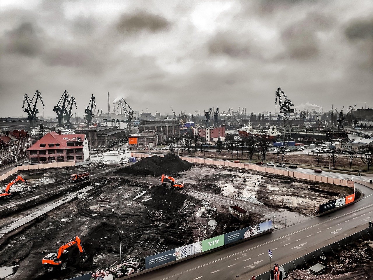
The Brownfield Challenge
Public authorities and developers face a common problem: limited budgets to investigate every brownfield site, but regulatory pressure to activate redevelopment pipelines. Traditional approaches require expensive site visits, environmental assessments, and feasibility studies before any prioritization decision can be made.
The question is not whether to redevelop. The question is which sites to investigate first.
The Cost of Sequential Investigation
Most municipalities approach brownfield portfolios sequentially: pick a site, commission studies, wait months, then decide. If the site proves unsuitable, the process repeats. This approach is slow, expensive, and rarely strategic.
For a portfolio of 50 brownfield sites, sequential investigation could take years and hundreds of thousands in consultant fees before meaningful action begins. By the time decisions are made, regulatory windows or funding opportunities may have closed.
Early Screening: A Different Approach
What if you could screen the entire portfolio first, then investigate only the highest-priority sites? This is where earth observation becomes strategically valuable.
Satellite data enables objective screening across all sites simultaneously, without requiring site access, environmental permits, or consultant mobilization. The goal is not to replace detailed studies but to inform which studies to commission first.
What Satellite Screening Reveals
Early-stage brownfield screening using satellite intelligence can identify:
- Site size and usable area for development feasibility
- Proximity to infrastructure and transport networks
- Vegetation encroachment patterns indicating abandonment duration
- Existing structures and demolition complexity
- Surrounding context for mixed-use compatibility
- Historical changes indicating prior use intensity
This is not contamination analysis. This is not geotechnical assessment. This is prioritization intelligence to help decision-makers allocate investigation budgets strategically.
Use Case: Municipal Brownfield Portfolio
Consider a mid-sized European municipality with 60 registered brownfield sites. Traditional approach: investigate 3-4 sites per year based on local knowledge and anecdotal interest. Timeline: 15-20 years to cover the portfolio.
With satellite-based early screening, the municipality can:
- Screen all 60 sites in weeks instead of years
- Rank sites by redevelopment feasibility signals
- Prioritize investigation budgets on top-ranked candidates
- Commission detailed studies only where early signals are favorable
- Defend prioritization decisions with objective, portfolio-wide data
This approach does not eliminate the need for environmental consultants or geotechnical engineers. It ensures their expertise is deployed where it has the highest likelihood of leading to actionable redevelopment.
Developer Perspective: Risk Reduction Before Acquisition
For private developers, brownfield acquisition carries significant risk. Purchase options require upfront capital before detailed due diligence can occur. Satellite screening enables developers to filter opportunities before committing to expensive feasibility phases.
A developer evaluating 10 brownfield opportunities can use early satellite screening to shortlist 2-3 sites with favorable physical characteristics, then focus acquisition efforts accordingly. This reduces wasted due diligence costs and accelerates time to decision.
Integration with Existing Workflows
Satellite-based brownfield screening does not replace existing assessment methodologies. It sits earlier in the decision pipeline:
Traditional Workflow:
Site identification → Detailed studies → Decision → (Repeat for next site)
Enhanced Workflow:
Portfolio screening (satellite) → Prioritization → Detailed studies (top sites only) → Faster decisions
This shift from sequential to parallel screening enables faster portfolio activation and better allocation of investigation resources.
Regulatory and Funding Context
EU funding programs increasingly reward municipalities that demonstrate systematic brownfield activation strategies. Being able to show portfolio-wide prioritization logic, rather than ad-hoc site selection, strengthens grant applications and demonstrates competent land management.
Satellite screening provides the evidence base to support funding requests: "We screened 60 sites, prioritized 8 based on objective feasibility signals, and are now requesting detailed study budgets for these candidates."
Limitations and Boundaries
It is important to state what satellite screening does not do:
- It does not detect soil contamination or subsurface hazards
- It does not replace environmental impact assessments
- It does not provide engineering-grade structural analysis
- It does not substitute for geotechnical surveys
Satellite screening is a decision-support tool for prioritization, not a substitute for on-ground expertise. The value lies in knowing where to deploy that expertise first.
Conclusion: Intelligence Before Investment
Brownfield redevelopment will remain complex, expensive, and time-consuming. But the decision of which sites to investigate first does not need to be guesswork.
Earth observation enables municipalities and developers to screen portfolios objectively, prioritize investigation budgets strategically, and accelerate redevelopment timelines without compromising due diligence quality.
The question is no longer whether satellite data is useful for brownfield screening. The question is whether organizations can afford not to use it when budgets and timelines are constrained.